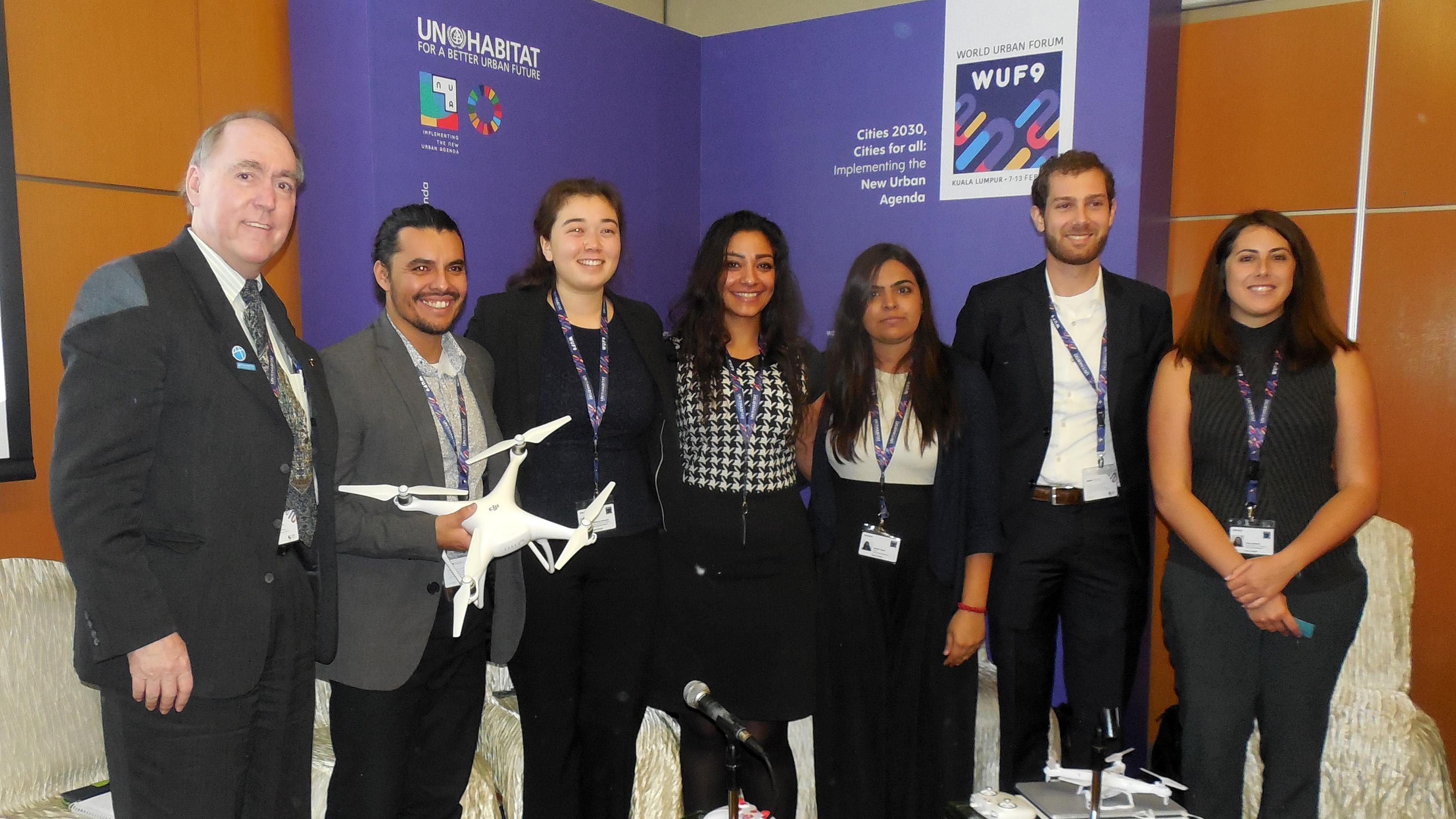
One of the training events at the WUF9 was “UAVs, Land Use Planning and Community Engagement: The Potential of Drones to Implement the New Urban Agenda”. The event was organised by the Special Interest Group in Urban Settlement (SIGUS) affiliated with the Massachusetts Institute of Technology (MIT) and Harvard Graduate School of Design. Researchers presented land use planning, environmental assessment, and disaster response applications for unmanned aerial vehicles (drones). This emerging technology is synchronized with autonomous systems (such as driverless autos) and the Internet of (moving) Things critical to smart sustainable cities. ISOCARP President Ric Stephens met with SIGUS to discuss the potential for ISOCARP Strategic Technical Assistance Teams (STATs) to incorporate drone pilots as part of post-disaster planning. [This initiative may also be integrated with the Global Alliance for Urban Crises. See article on GAUC].
Ric Stephens is a U.S.-certified remote pilot and instructor at several Oregon universities and is currently working with state and regional officials to develop unmanned aircraft systems for emergency management. He has given numerous presentations on drones at planning conferences including the 2017 REALCORP International Conference, 2017 World Planning Congress and the upcoming 2018 Urbanism Next conference, March 5.
If you have an interest in planning applications for drones, please contact Ric at isocarp@isocarp.org